
UnGovr Request
PILOT · CALIFORNIA & IRELANDReport it once. We find who owns it.
A broken streetlight might belong to the city, the county, a utility district, or the state highway department. Request resolves your exact location against Atlas boundaries to the agency responsible. Where we have verified that agency's intake, the request goes straight into it; everywhere else you get the right destination and a prefilled handoff, while we work through the rest.
Worked example
How a request travels.
- Step 1 · Locate
Your point on the map resolves to every government serving it.
Atlas boundaries turn a location into a stack of jurisdictions: city or not, which county, which districts.
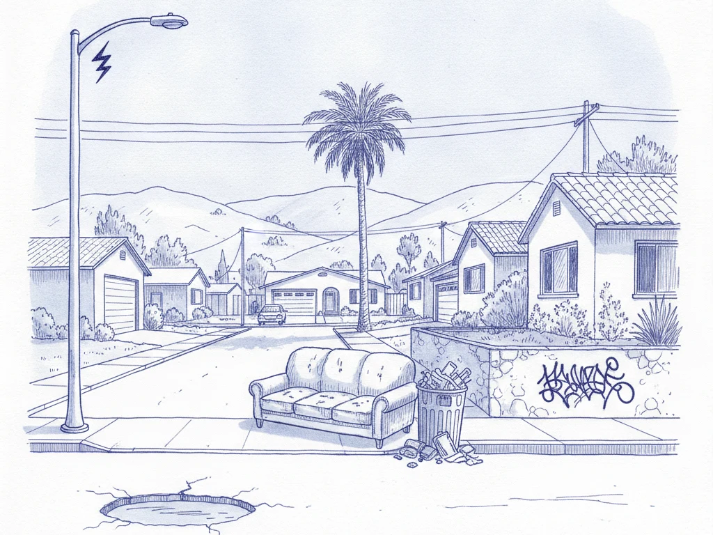
A resident reports a streetlight out on a road just outside city limits. The point falls inside the county boundary but no city boundary: this is unincorporated territory, so the county, not the nearby city, is responsible. - Step 2 · Route
The issue type matches the agency that handles it.
Each mapped agency carries its service responsibilities, so a pothole and a fallen tree can go to different desks in the same government.
Streetlight maintenance in this county belongs to the public works department. The report routes there directly, not to a general inbox. - Step 3 · Deliver
The request goes out through the agency's real intake.
Whatever the agency actually uses: its own portal, its web form, or its published service email. Each of those paths is verified with the agency before we send anything to it, so this step reaches a growing set of agencies rather than all of them at once. Where it has not reached yet, the reporter gets the right destination and a prefilled handoff instead of a dead end.
Open today
Two launch markets, one playbook.
California
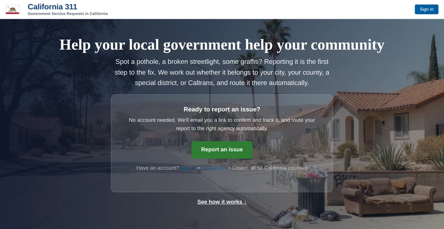
Service requests routed across county and city lines, including unincorporated areas where the county, not the city, is the responsible government. Routing covers the state; verified delivery is furthest along in Santa Barbara County.
 Make a request →
Ireland
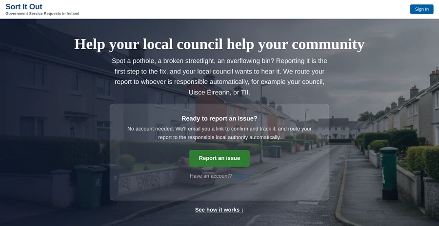
Nationwide issue reporting covering all 31 local authorities, in English and Irish (Déan tuairisc: make a report). Reports reach the right council as a prefilled handoff while we verify each authority's own intake.
 Make a request →
Every new state or country follows the same playbook: map the governments, seed the service routing, open the intake.
What to expect
More reports. The same problems.
Most issues the public notices never become reports: reporting takes effort, and many problems feel too small to be worth the trouble. Those unreported issues are a shadow backlog, real work a government is responsible for but has no record of. When reporting takes seconds, the shadow backlog becomes visible. A surge in reports is not a surge in problems. The problems were always there. Easy reporting lets the records catch up with reality, so agencies can plan against complete numbers instead of partial ones.